Providing Maps, Analysis, Data, and Graphics
Padre employs a wide range of tools and software to provide clients with tailored, and effective spatial and graphics services. Some of the tools and software we use include: Esri ArcGIS desktop; Esri ArcGIS Online, and Collector applications; AutoCAD Civil 3D, Trimble GPS collection and processing software and hardware; Bentley gINT database and visualization software; and other graphic design software. With this arsenal of tools, the Padre Mapping and Spatial Services group provides a wide array of services to meet varied clients’ needs. Some common services include:

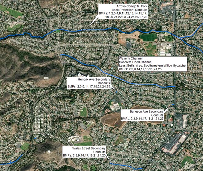
- Cartography. Attractive and informative cartographic products ranging in size and message.
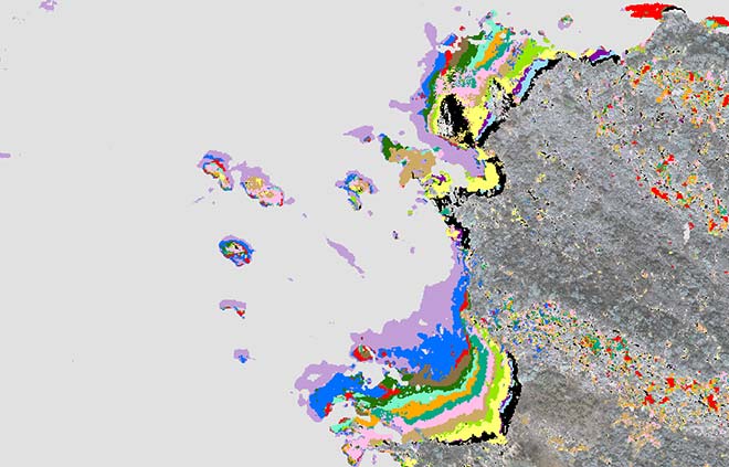
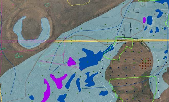
- Spatial Analysis. Quantify spatial relationships including overlay (impact), proximity, viewshed modeling, remote sensing and interpolation analysis.
- Database Development and Management. Compiling and maintaining integrity and consistency in data.
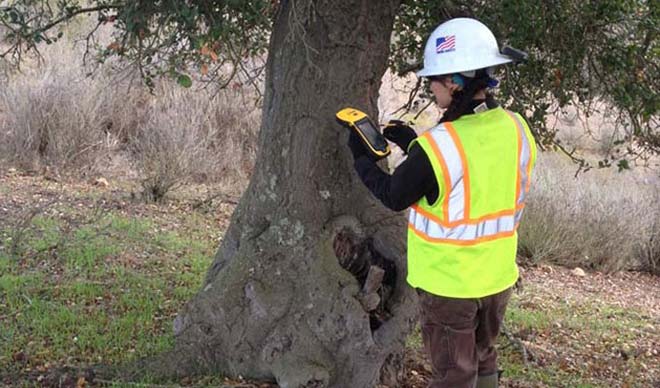
- Field Data Collection. Effectively locating and collecting meaningful data in the field through use of GPS receivers, data dictionaries and Collector for ArcGIS Online.
- Grading Plan Development. In a three-dimensional environment (3D) analysis of existing site conditions is conducted to design a proposed plan modeling elevations, volumes, and project feature locations.
- Cross-section Development. Data driven profiles developed to visualize and understand subsurface conditions.
- GIS Viewer Deployment. Securely making GIS data available and consumable to non-GIS users through easy to use online, desktop, and mobile applications such as ArcGIS Online.
- Graphic Design. Attractive graphics developed focused on communicating a message and theme.
- Story Maps. Story Maps combine text, photos and images, ArcGIS Online Maps, and multi-media elements to communicate powerful ideas. See sample.
- UAV (Drone) Monitoring. Cost effective alternative to traditional aerial image capture allows each phase of projects to be documented through high resolution images and videos.
- Visual Simulation. Visual simulations are a tool used to help give life to a proposed project by helping stakeholders to envision how a completed project would change the current landscape.


